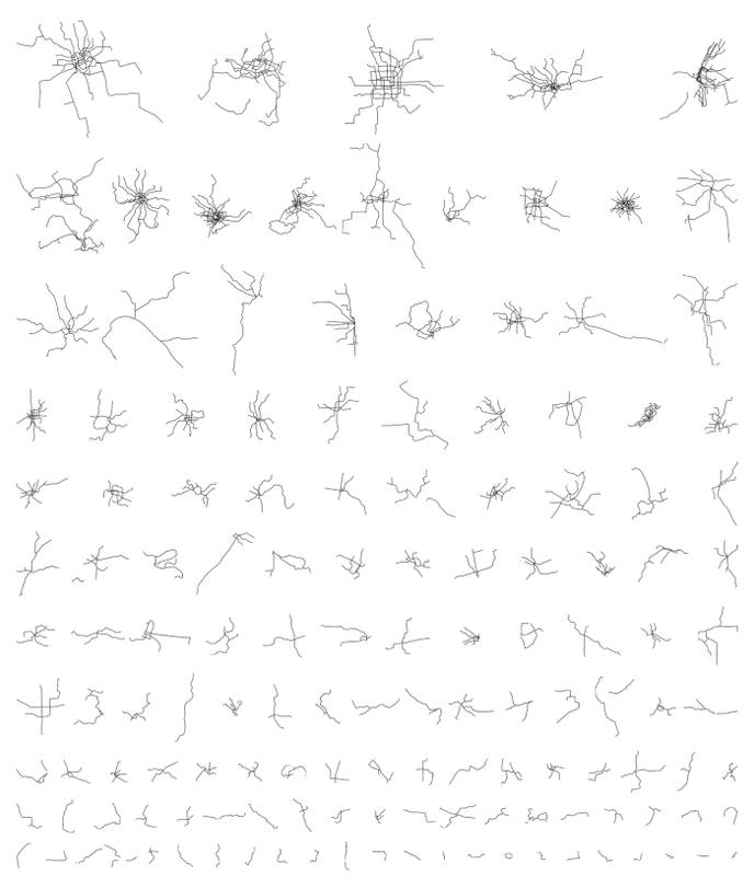
| Neil Freeman ha creado una bella síntesis gráfica a partir de los mapas originales de los sistemas de metro de las principales ciudades del mundo, a través de la cual es posible analizar la morfología urbana de éstas. Estos sugerentes esquemas son, según Freeman, muy reveladores acerca de cómo son en realidad las ciudades. Y es que a partir de ellos podemos estudiar la evolución de las mismas desde las sendas y trazados de la antigüedad a los sistemas subterráneos de la modernidad. (+info) | Neil Freeman has created a beautiful graphic synthesis from the subway maps of the world's major cities through which is possible to analyze the urban morphology of these. According to Freeman, these suggestive schemes are very revealing about how the cities really are. And it is from them that we can study their evolution, from the trails and paths of antiquity to the underground systems of modernity. (+info) |


